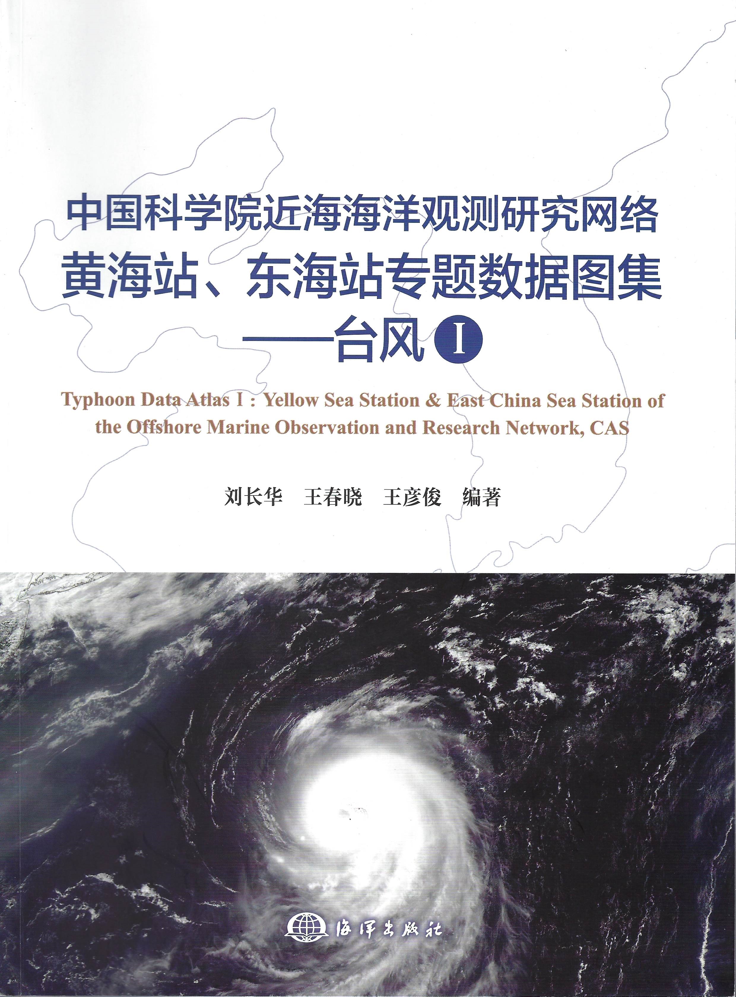
Typhoon Data Atlas Ⅰ:Yellow Sea Station & East China Sea Station of the Offshore Marine Observation and Research Network, CAS was published by Ocean Publishing House in October 2019, which is the first long-term observation data atlas of typhoon in China. The atlas was compiled by Liu Changhua, Wang Chunxiao and Wang Yanjun from research team of “Observation Data Convergence of Atmospheric Background- high and Cold Environment- Offshore- Phenology” in “Big Data Cloud Service Platform” project.
Established in 2007, Yellow Sea Station and East China Sea Station of the Offshore Marine Observation and Research Network of Chinese Academy of Sciences (Yellow Sea and East China Sea Station) is an important construction project of the innovative third-phase field scientific observation and research station of the Chinese Academy of Sciences. As a real ocean observation station based on marine scientific research in China, it focuse on areas of typical marine research and forms a complete system of real-time Marine observation network.
The initial intention and mission of the Yellow Sea and East China Sea Stations was to systematically release result data and promote the open sharing of observation data, so as to strongly support marine science study and disaster prevention, and serve the economic and social development in the region. Through more than one year’s effort, the team produced a typhoon atlas through comprehensive sorting and in-depth analysis of typhoon data from 2010 to 2018 acquired by 14 buoys of Yellow Sea and East China Sea Station. The atlas includes statistics and curves of maximum wind speed, wind direction, minimum pressure, and maximum wave height during the above-mentioned typhoons.
The observation area of the Yellow Sea and East China Sea Station ranges from as far as the Yalu River in the North to Zhoushan Open Sea in the South. It mainly consists of four core observation areas: the Northern area of the Yellow Sea withZhangzi Island as the core, Rongcheng Open Sea with Rongcheng Chudao Island as the core, Qingdao, Rizhao and Sanshan Island Open Sea with Lingshan Island as the core, and the Open Sea ranging from Yangtze Estuary to Zhoushan Islands with Huaniao Island as the core. Through stable operation, the two Marine observation and research stations have accumulated a large number of long-term continuous real-time observation data including meteorological (air temperature, humidity, air pressure and visibility), hydrologic (ocean current and wave) and water quality (water temperature, salinity, turbidity, chlorophyll, dissolved oxygen).
In order to provide continuous data support for the basic typhoon research in China, we plan to publish a typhoon atlas at regular intervals in the later stage and name them in the sequence of "typhoon Ⅰ", "typhoon Ⅱ"...


